Buramsan Mountain
Buramsan Mountain Add to wishlist
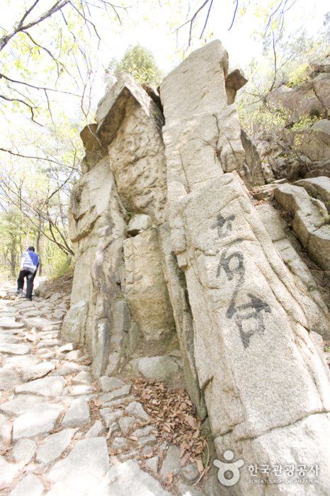
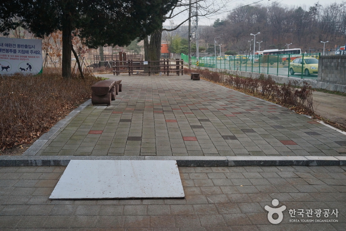
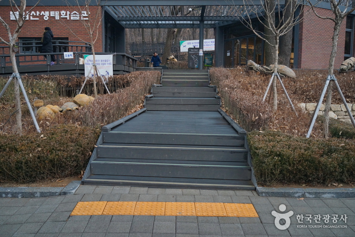
Buramsan Mountain is an 508-meter high rock mountain, drawing the border between Junggye-dong and Sanggye-dong in Nowon-gu and Byeolnae-myeon in Namyangju.
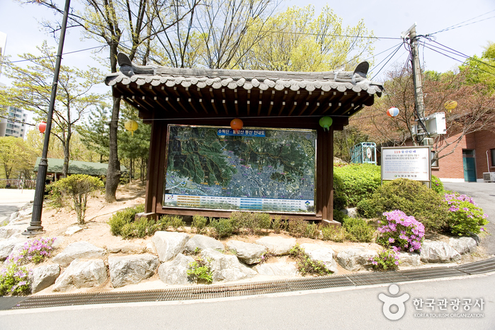
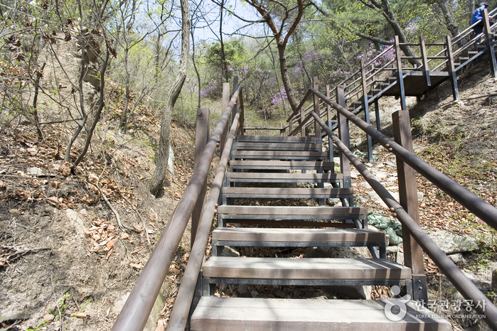
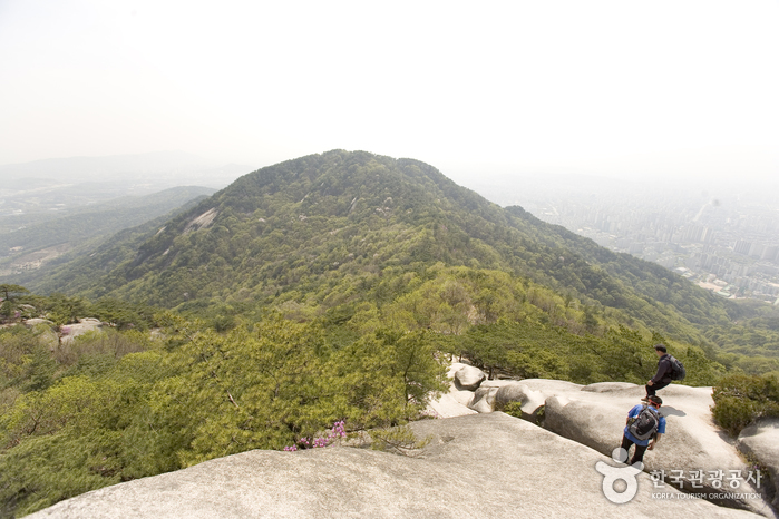
The total area is approximately 5,355,396 square meters and was designated as a city nature park in 1977. The mountain is named after its appearance that resembles Buddha wearing songnak (headgear) and is also referred to as Cheonbosan or Piramsan Mountain. The ridge stretches long enough to enjoy the scenery and it's an easy hike because it is not too steep. In particular, the stunning view of Seoul at night unfolds at the top of the mountain.
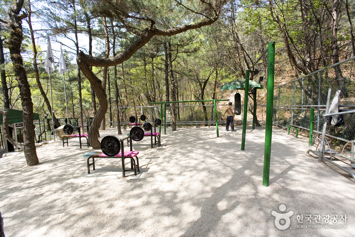
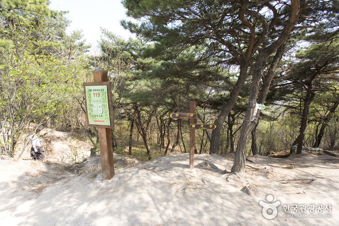
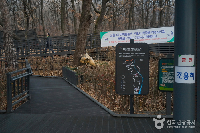
Buramsanseong Fortress is located 420 meters above sea level and the rock cliffs are often used as rock climbing spots. There are also various hiking trails and about ten springs to get fresh mineral water. Burampokpo Falls is popular in winter among ice climbing enthusiasts.
Tel : +82-2-2116-3943
Address : 22, Deongneung-ro 130ga-gil, Nowon-gu, Seoul
Homepage : www.nowon.kr